

06.05.18 - Toronto Ravine Maps Exhibit opens May 11 at the Evergreen Brickworks
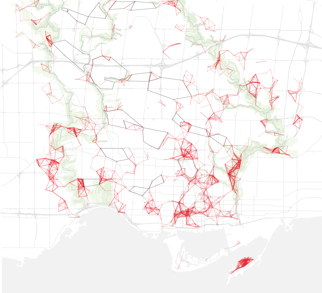
The Toronto Ravine Maps Exhibit — opening Friday, May 11 — explores Toronto’s unique network of ravines through a collection of maps that illustrate the increasing environmental challenges that they face.
Curated by Associate Professor Alissa North and Master of Landscape Architecture student Neil Phillips in association with Evergreen Brick Works, the maps were created by Daniels Faculty students as part of a studio project that encouraged the class to represent the ravines in novel ways.
Toronto’s ravines are the multiple rivers and valleys that cut into the city’s otherwise mostly flat landscape. The city’s early developers buried its smaller rivers and creeks, filling in wetlands to allow the grid layout of the city to prevail. Toronto’s river systems were too large for such treatment, and the results are the interesting anomalies and fractures in the grid that we see on maps today.
Currently, there is little undeveloped land around the ravines, and the remaining areas face increasingly challenging environmental pressures.
With the overriding idea that rivers are dynamic systems, participants were asked to imagine and represent the pressing issues within the ravine and waterfront in new and novel ways, always thinking about balancing the need for preservation, restoration and change.
See the exhibit at Evergreen Brick Works throughout the month of May, and celebrate Toronto's ravines at our Spring Into Summer Ravine Celebration on Sunday, May 13
This exhibit will be open to the public from May 11- May 24, 2018, during Everygreen Brickworks' Young Welcome Centre hours of operation (9:00am - 5:00pm, Monday to Saturday; 10:00am - 5:00pm Sundays & holidays).
For more information, visit the Evergreen Brickworks website.