

12.08.20 - Read Forts & Tumuli, a book of work by first-year Master of Landscape Archtecture students
In the winter 2020 session of Visual Communication 2 (LAN1022), first-year Master of Landscape Architecture students were tasked with developing their visualization skills by studying either an Indigenous burial mound (known as a tumulus) or a colonial earthwork fortification. Each student first drew the topography of their assigned fort or tumulus, then created drawings that developed a historical or fictional narrative about the site.
Now, anyone interested in perusing the course's impressive visual output can do so easily, because all of it has been collected in a book. Forts & Tumuli, a lavishly illustrated volume assembled by assistant professor Fadi Masoud, can be read in its entirety online or purchased for $48.99 from Blurb.ca.
(Last year's edition is also available.)
Here are a few projects from the book.
Stefan Herda
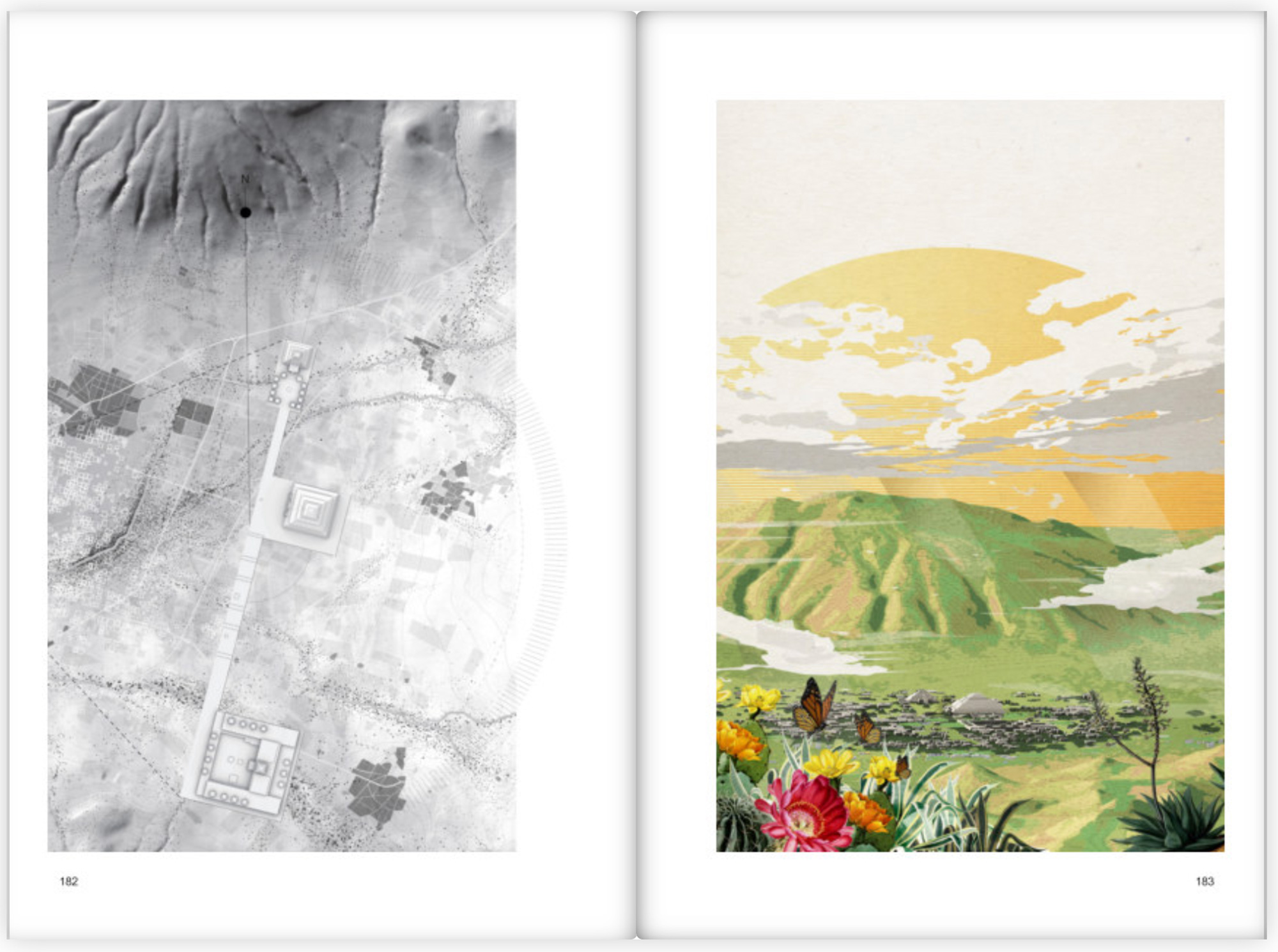
Stefan's study area was the Pirámide del Sol, an archaeological site located on the outskirts of Mexico City. The pyramid is the largest structure in Teotihuacan, an ancient city that was already a ruin by the time of the Aztecs. Stefan obtained spatial data from researchers at Arizona State University, which he used as the basis of a series of illustrations that attempt to reconstruct what the Aztecs would have seen and experienced as they stumbled upon the empty city for the first time. "I articulated a walk from the mountaintops down into the site," Stefan says. "Each drawing is a step along this journey of discovery."
Elva Hu
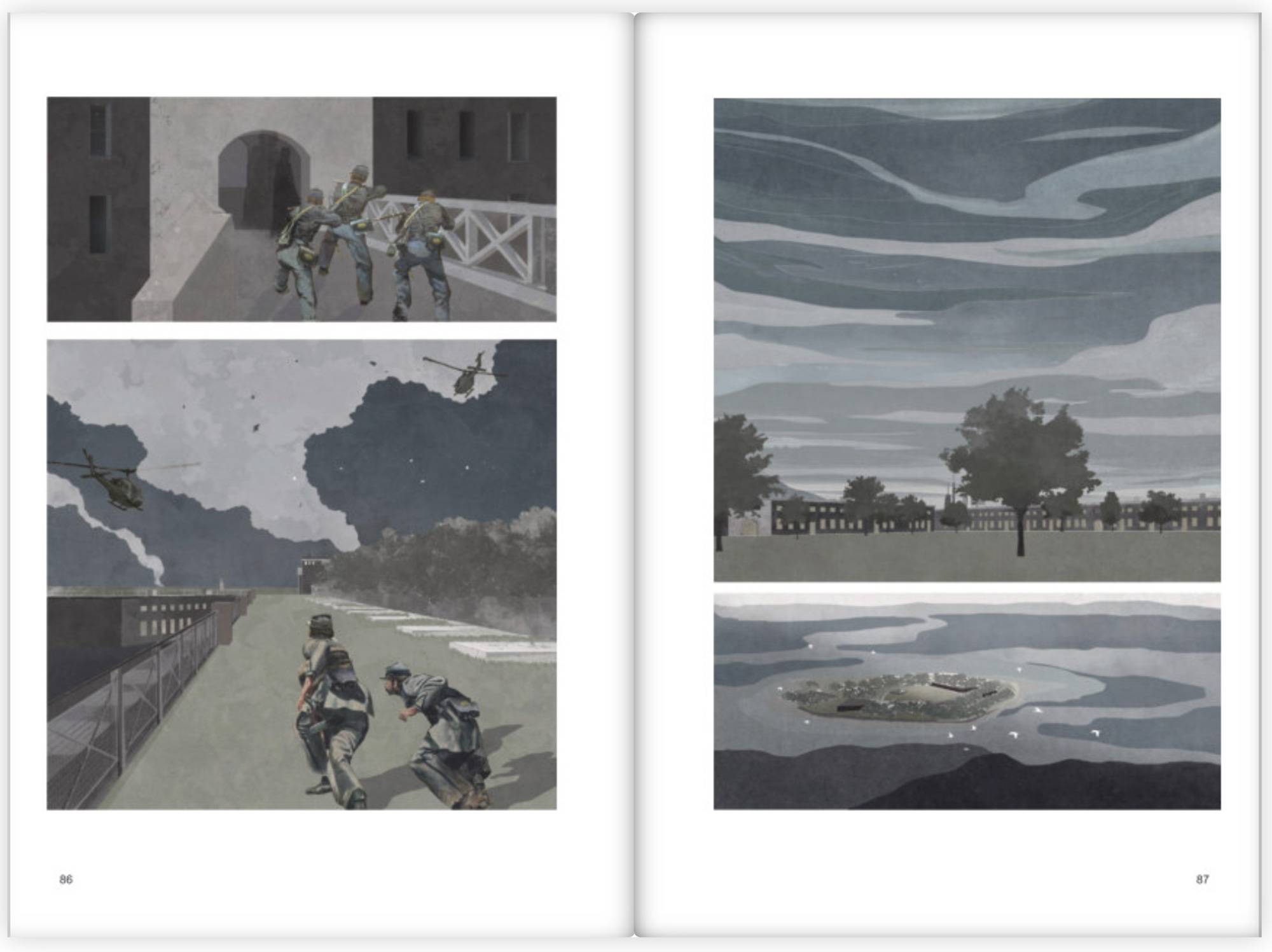
Elva studied Fort Warren, in Boston, Massachusetts. She chose to focus her illustrations on a Civil War legend about "the lady in black" — a woman who supposedly attempted to free her confederate solider husband from the fort, was caught and executed, and now haunts the premises as a ghost. Elva's dark colour palette is intended to highlight the fort's gloomy aspects.
Agata Mrozowski
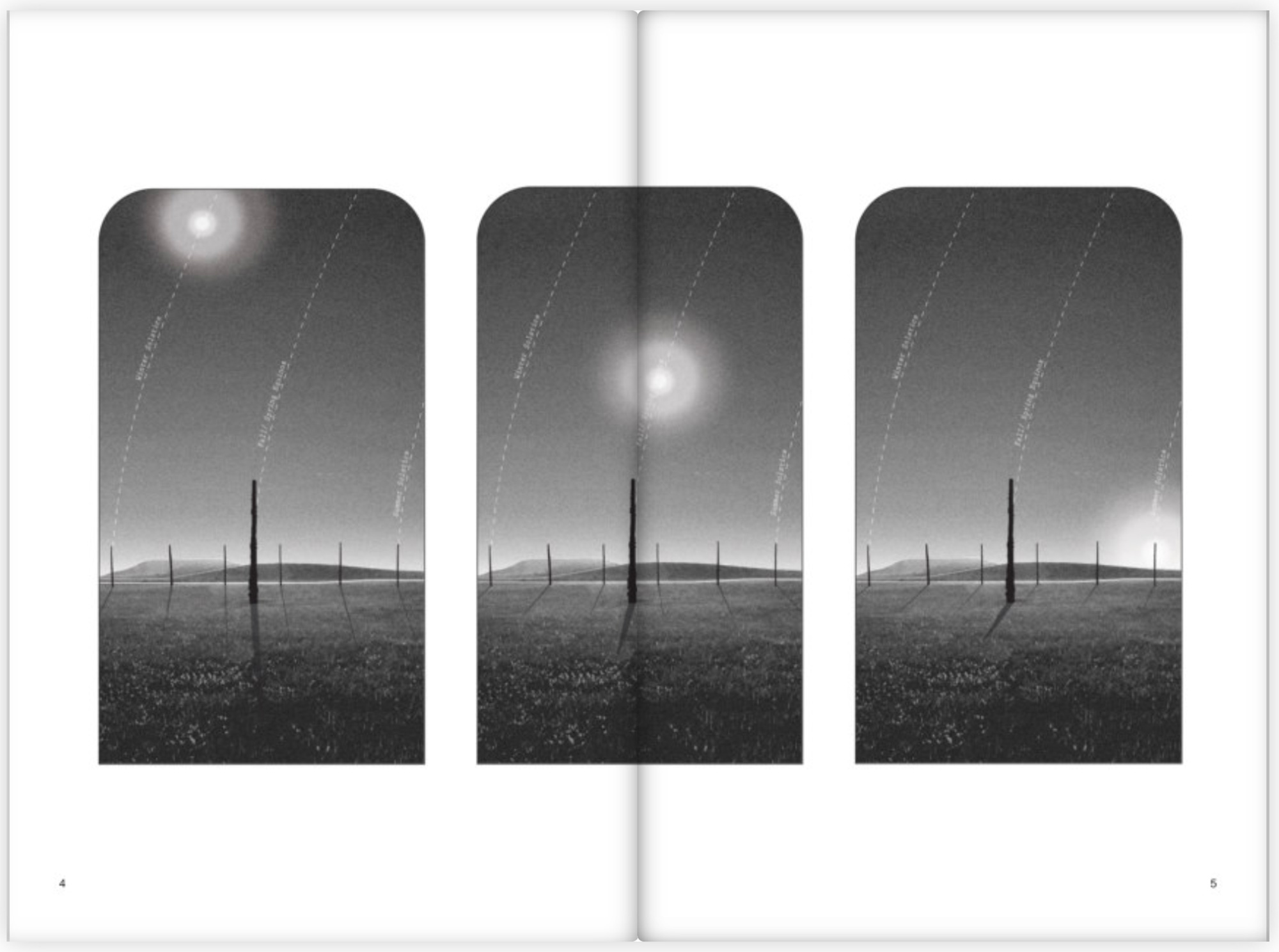
Agata took on the Cahokia Mounds, the remains of a Native American city believed to have been abandoned around the year 1300. After studying the layout of the mounds, Agata became intrigued by the way the city's layout mirrored certain stellar constellations. Through her drawings, she attempted to convey the way the mounds relate to the sky. "All of my drawings have circles and curvatures," she says. "They're really trying to emphasize that temporal circular relationship between the cycles of life and this land."
Nadia Chan
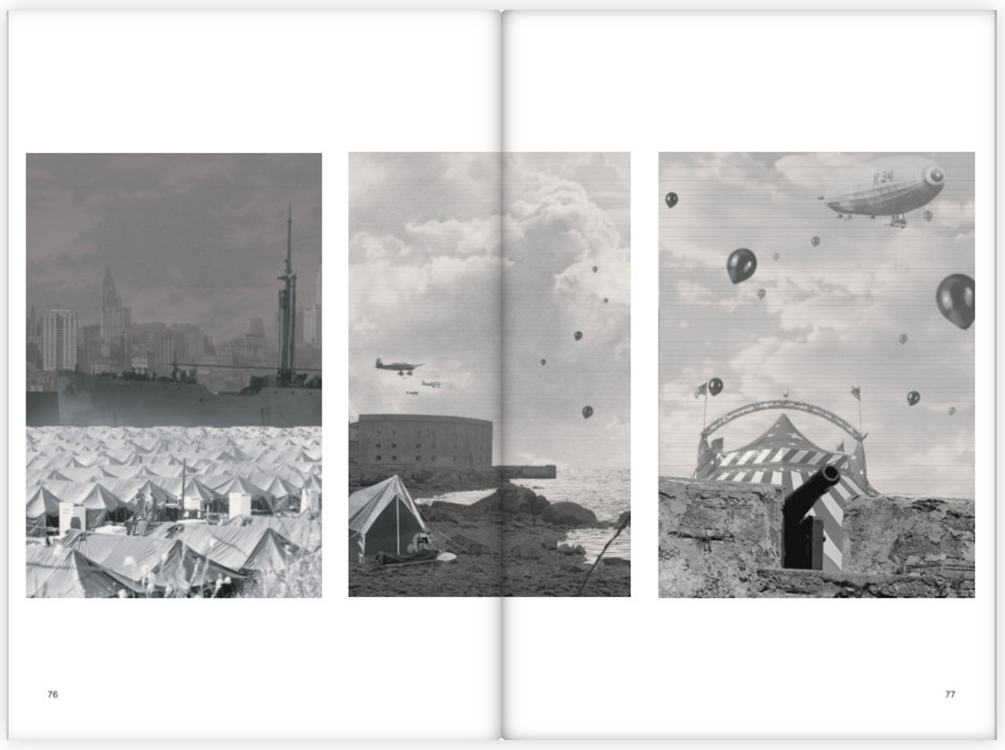
Nadia studied Fort Jay, a post-Revolutionary War stronghold located on Governor's Island, in New York City. She chose to focus her drawings on the time of the 1918 Spanish flu pandemic, when, according to her research, the fort was used as a field hospital. (She settled on her topic a few weeks pre-COVID. She had no idea how relevant her choice of focus was about to become.) She juxtaposed images of hospital tents with images of a spring lawn party, once an annual occurrence at the fort. "These drawings evolved into a fictional retelling of history, but also a kind of commentary on our current pandemic situation," Nadia says.