

11.12.17 - CityLab tells the story of North America's "Third Coast" in 8 maps
A recent article by CityLab highlights the expansive, detailed, and beautifully illustrated research in the book Third Coast Atlas: A Prelude to a Plan by Clare Lyster, Charles Waldheim, Daniel Ibañez, and Daniels Faculty Associate Professor Mason White.
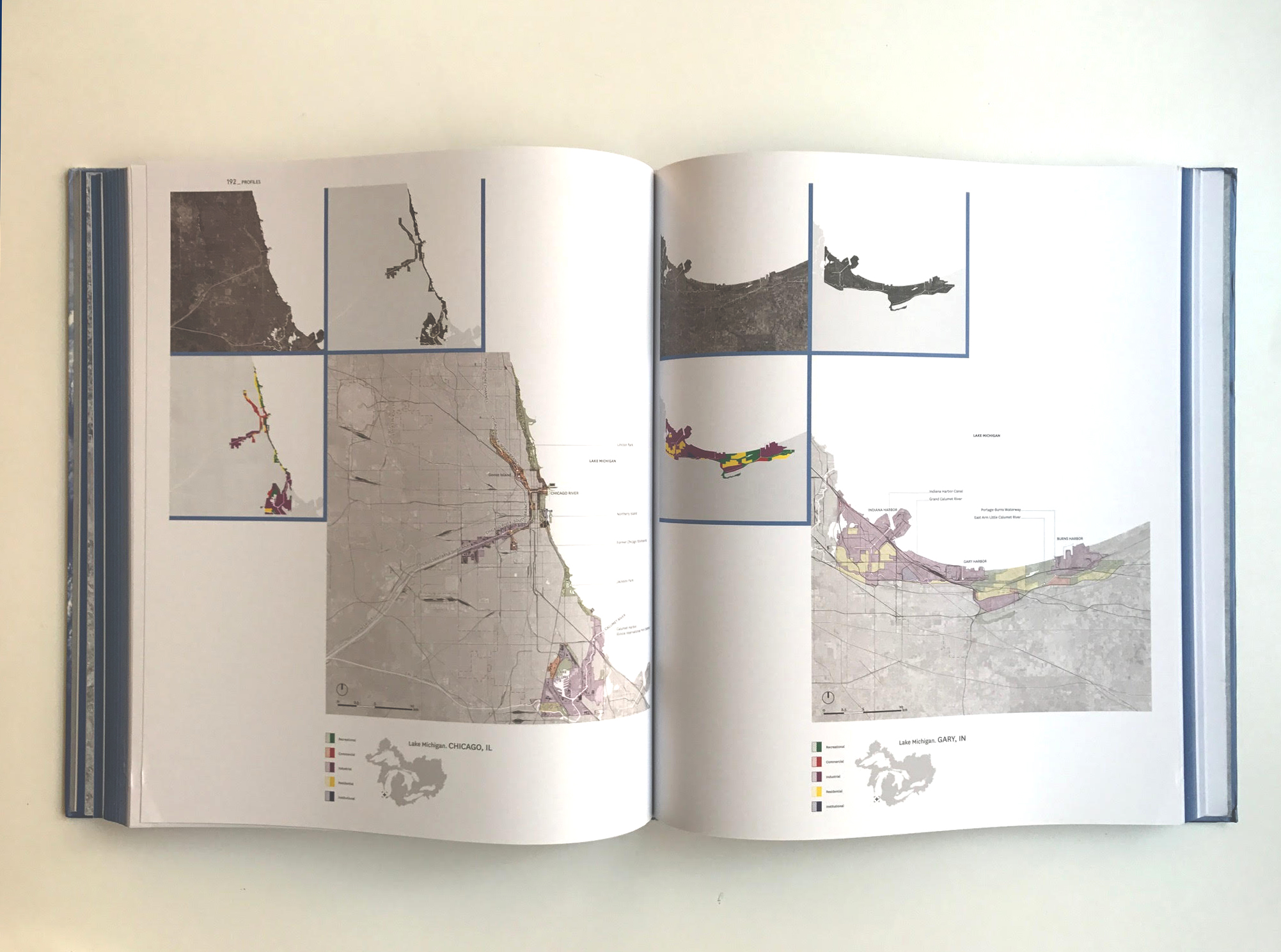
Filled with maps, plans, diagrams, timelines, photographs, and essays, the large, hardcover book offers a multi-layered description of the process of urbanization throughout the Great Lakes region: North America’s “Third Coast.”
CityLab provides "The Story of the Great Lakes in 8 Maps," referencing illustrations from the book.
The Great Lakes were where the skyscraper and the shopping mall were invented. The urban street grid was perfected here, and the field of urban planning took some of its earliest steps here toward becoming a formalized profession. Its ports and shipping distribution districts were trendsetters. And all manner of Modernist campus and quasi-megastructure experiments took root in the humble middle of North America. Think of Mies van der Rohe’s campus at Chicago’s Illinois Institute of Technology and his Lafayette Park neighborhood in Detroit; Bertrand Goldberg’s city-within-two-towers Marina City, also in Chicago; and Moshe Safdie’s influential Habitat 67 in Montreal.
It is a vast legacy, matched by the physical dimensions of the Great Lakes themselves.