

Landscape Design Studio Options
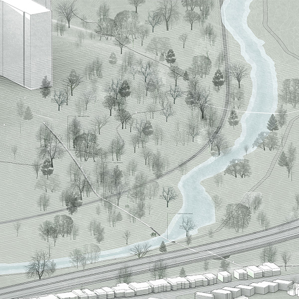
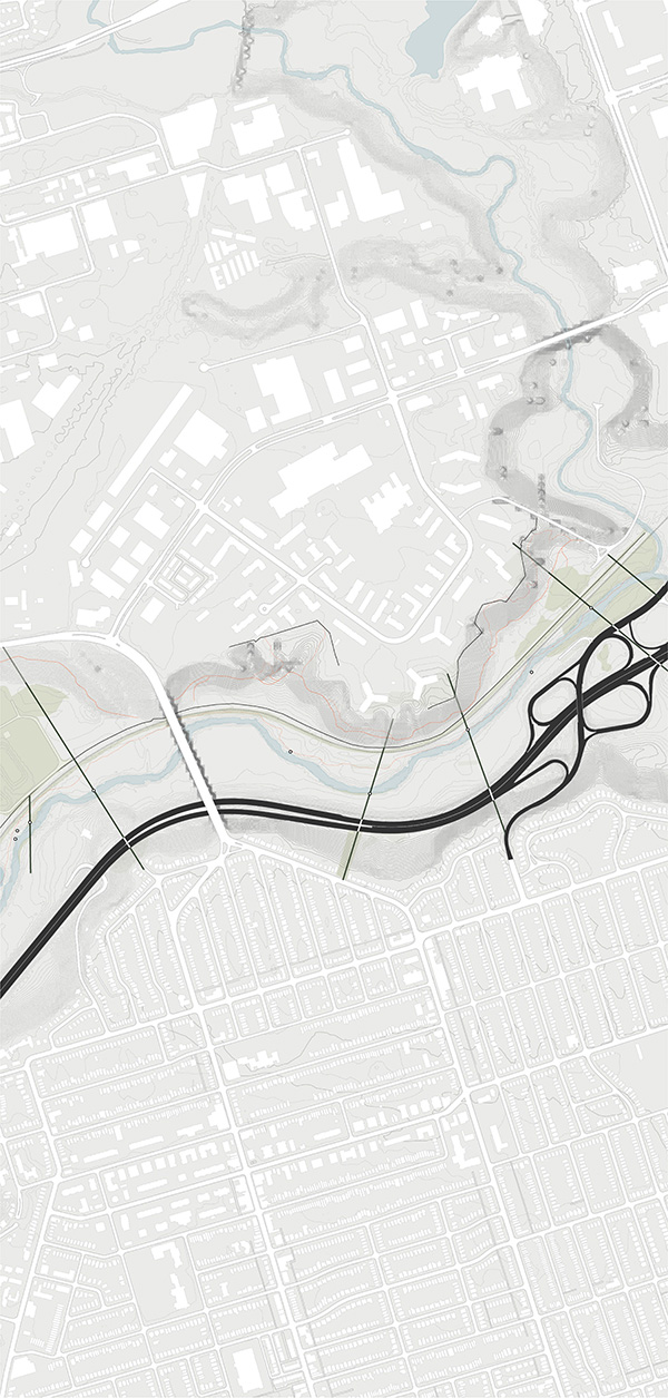
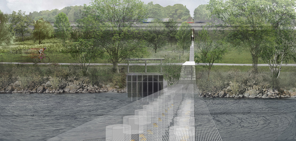
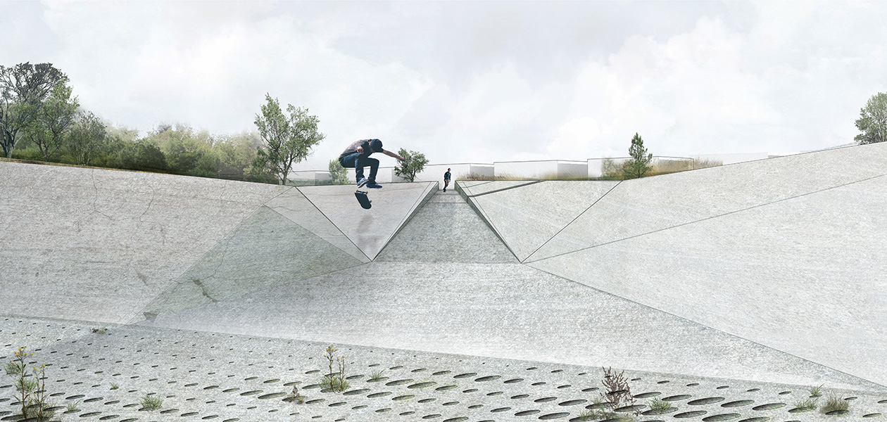
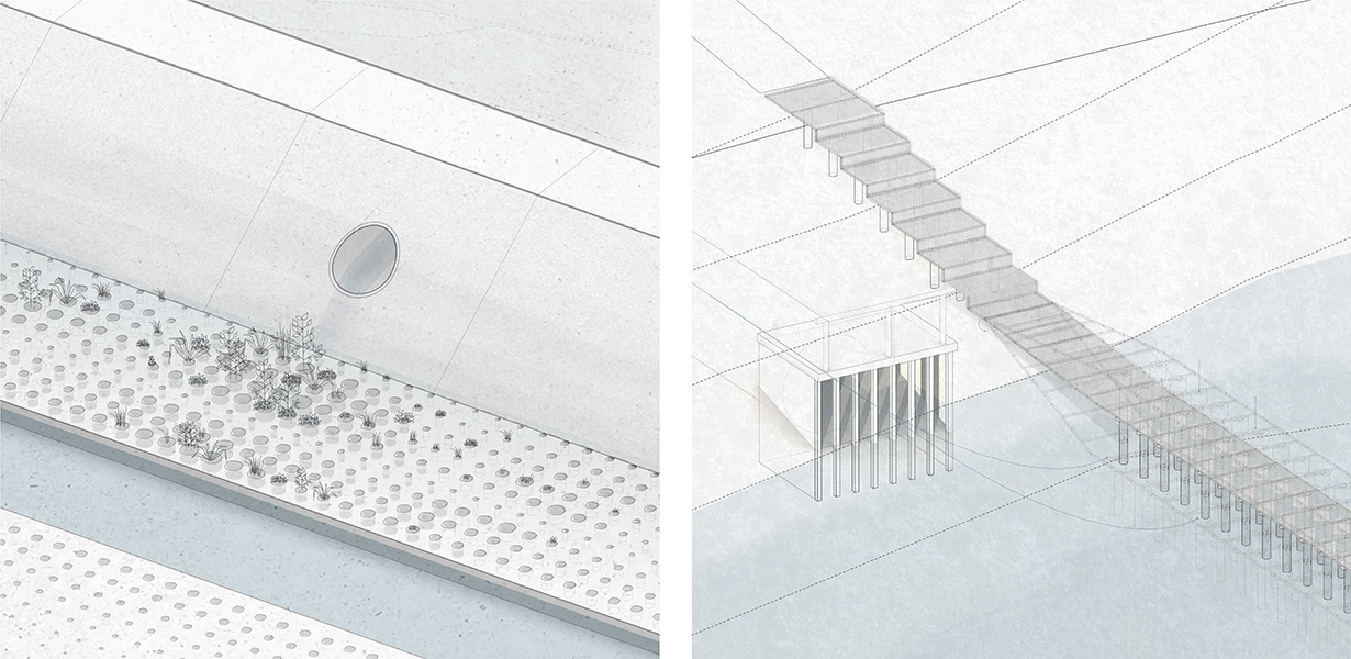
The City of Toronto and other stakeholders have recently taken great interest in the potential of its ravines — the multiple rivers and their valleys that cut into the city’s otherwise mostly flat topography. Laying out the city in a grid, Toronto’s early developers buried its smaller rivers and creeks, filling in wetlands to allow the grid to prevail. Today, there is little undeveloped land around the ravines, which now face challenging — and increasing — environmental pressures due to significant flooding, aged infrastructure, and an ever-increasing population seeking urban recreation opportunities within.
If the ravines fall into a state of disrepair, their ability to perform substantially as green infrastructure for the city will be compromised. In early 2015, various City of Toronto divisions, along with the TRCA began consultation with the public and a wide range of stakeholders to develop a Toronto Ravine Strategy. Daniels Faculty students in this Option Studio were provided guidance from The City of Toronto to help envision and develop innovative design ideas to inspire targeted catalytic solutions of change.
What if Toronto’s ravines were thought of as a system of flows, rather than delimited non-dimensional green shapes on maps? How would their relationship with the city change? Could they productively erode and deposit, change shape, or even spread? Could the ravines be held accountable for the ecosystems services they provide to the city? Would this enhance their value, resiliency, and appreciation? How could the city’s ravines be imaginatively visualized to ignite new perceptions, understandings, and interactions?